 |
|
|
|
|
|
|
|
|
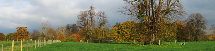
Introduction - North Stoneham Planning and Management Framework, 1993The threat of development to the strategic gap between Eastleigh and Southampton has led to renewed interest in the history and landscape development of the area. This has been particularly focused on the area known as North Stoneham Park. By the nineteenth century this had developed into a designed ornamental landscape extending over more than 500 acres. The potential of this area is discussed in a recent report by Christopher Blandford Associates (April 1991). The origins of the Park can be traced back to a deer park recorded as belonging to the abbot of Hyde in 1334 (Patent Rolls 1330-34, 583). The survey by CBA suggests that the medieval park may have had boundaries similar to those shown on an estate plan of 1818. Recent research shows a much smaller extent for the abbot's park. It can be shown that the park was progressively expanded during the post-medieval period to its maximum extent at the time of the tithe map c. 1840. The earlier boundaries can be shown to have been influenced by landscape features that have survived from at least the Saxon period. These are identified as playing an important role in the development of settlement in the Southampton area, including the town itself, and should therefore be merited greater protection than they are currently given. The region The ancient estate, later the manor, of North Stoneham is largely a region of clays, with large patches of sand and gravel. It is considered poor agricultural land today. Modern land uses are restricted mainly to pastoral and woodland regimes. The area was still characterised in the nineteenth century by extensive areas of common and managed woodland. Piecemeal development, both for housing and for industrial estates following the construction of the M27, threatens much of the region, although large areas of woodland survive for forestry. |
|