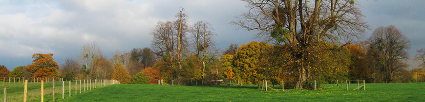
Bird's-eye view of Avenue Park and central area of Park looking north.
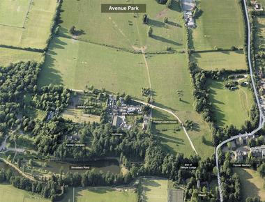
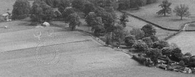
Detail of southern end of Avenue Park.
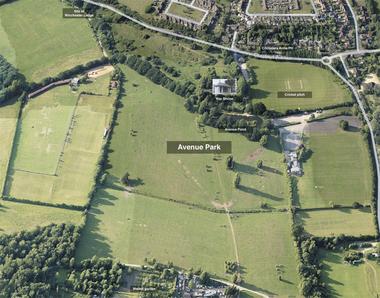
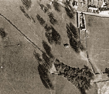
Detail of northern end of Avenue Park.
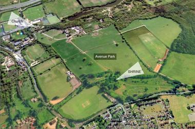
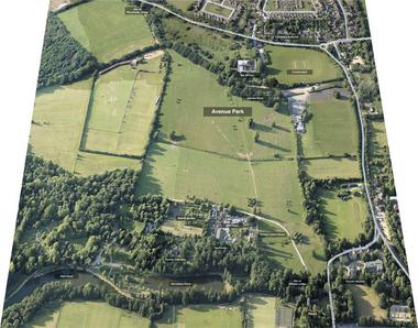
Bird's-eye view (Google Earth) of Avenue Park looking southwest towards Southampton.
This photograph (with the War Shrine at the centre) was taken before the Second World War, and shows that the north end of Avenue Park area was far less wooded and that the Shrine had clear views over Avenue Pond and the parkland to the church.
Bird's-eye photograph of Chestnut Avenue and the northern part of Avenue Park, looking southeast, taken in the late 1930s.
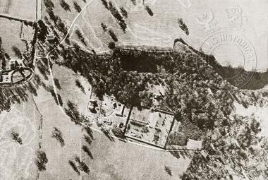
Aerial photograph (south is at top of picture) dating from around 1940, showing southern edge of Avenue Park, and also the walled garden, Park Farm, and lakes. St Nicolas church is towards top left corner of image.