 |
|
|
|
|
|
|
|
|
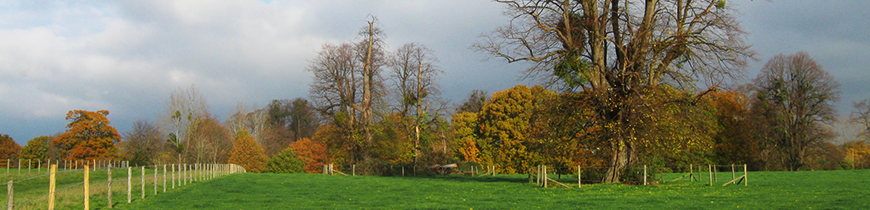
Maps and plans of Avenue Park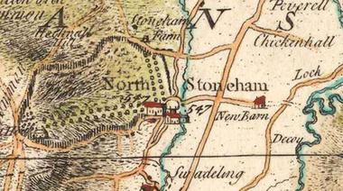 Taylor's map of 1759 was the first to depict the full extent of Stoneham Park. The Avenue is shown reaching from the north facade of the old manor house. There was another avenue to the west. 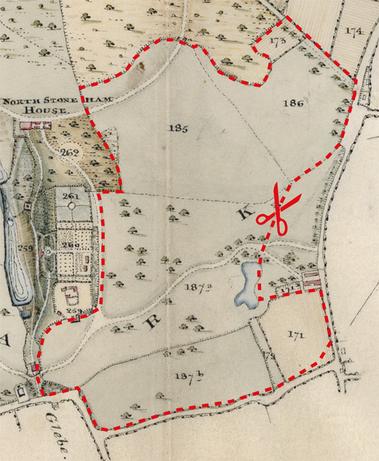 Avenue Park as shown on John Whitcher's 1818 plan and survey. The extent of the current development proposals is shown by the dotted red line. 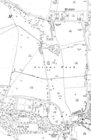 Early 20thC OS map showing Avenue Park. |
|