 |
|
|
|
|
|
|
|
|
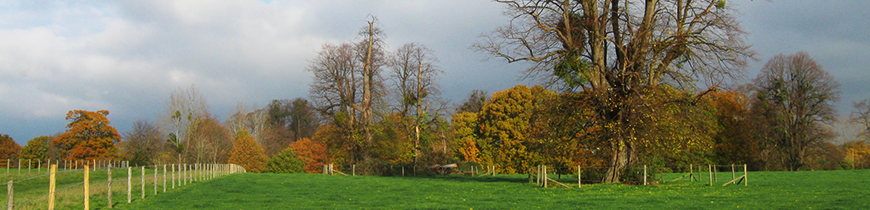
Historic Development - North Stoneham Planning and Management Framework, 19933. HISTORIC DEVELOPMENT 3.1 The history of North Stoneham Park can be traced back over many centuries during which there have been a number of changes to the boundaries and layout. However, there is a remarkable continuity of land use which stretches from the Roman period to the present. It is one of the few ancient manors in England where development can be traced in an uninterrupted line for almost 2,000 years. (Currie, C. 1992). 3.2 Saxon charter evidence indicates the presence of a large area of common pasture, and a series of "ways" or roads throughout the area. It has been suggested (Currie) that the principal purpose of the estate at North Stoneham was to provide food to the Saxon port of Hamwic, which stood on the Itchen, near to present day Southampton. 3.3 Much of the common pasture was enclosed during the medieval period. A significant historical feature is the medieval deer park. The boundary of the park follows prominent local features: from streams and valley sides and man-made features such as the old track from North Stoneham Common to Stoneham Lane. In places, remains of the bank (pale) and the internal ditch (designed to prevent the deer leaping the pale) can still be seen. 3.4 By the seventeenth century a manor house certainly existed south of the present Park Farm. There is evidence to suggest that the existing walled garden formed part of an earlier formal garden, with an avenue of limes aligned (to the north) on the position of the original manor house. 3.5 In the later part of the eighteenth century the landscape designer Lancelot "Capability" Brown was commissioned by John Fleming, the owner of the estate, to prepare a general scheme of improvement and parts of the existing landscape may well stem from this work. The new landscape was designed to complement the setting of a new mansion nearer the centre of the park. 3.6 The ownership of the park has since been fragmented (map 2) and little remains of either of the original mansions. Nevertheless, although parts of the original landscape have been degraded or destroyed by the introduction of formal playing fields, the parkland character of the landscape survives over a considerable part of the area, together with a number of historical features. The most important of these features are the remnants of The Avenue (which pre-dates Capability Brown's work), three man-made ponds, the walled garden and a shrine in memory of a member of the Fleming family killed in The Great War. 3.7 The vulnerability of this landscape to change is well recognised, and the local planning authorities have commissioned several studies of the landscape in the Eastleigh-Southampton Strategic Gap, and in particular North Stoneham Park (Appendix 3). |
|