 |
|
|
|
|
|
|
|
|
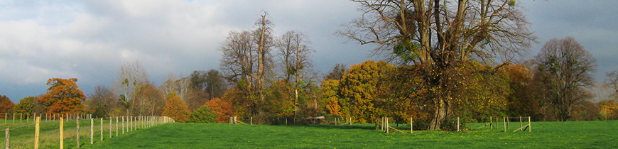
Introduction - North Stoneham Planning and Management Framework, 19931. INTRODUCTION 1.1 This strategy for North Stoneham is designed to reinforce and enhance the policies for the Eastleigh-Southampton Strategic Gap. The study area has been identified as a key part of this Strategic Gap since there is a concentration of leisure and development pressures to be found here. These include extensive formal recreation facilities, pressure from the urban areas of Eastleigh and Southampton for access, and a number of recent planning applications for development. The bulk of the study area comprises the former North Stoneham Park which is a landscape of historic significance. 1.2 The area is bounded by the M3/M27 motorway, Chestnut Avenue and Stoneham Lane. The motorways effectively cut off the area to the west and south. The location of Southampton Airport has severely restricted access in the past to the Itchen Valley Country Park to the east. Improved links to the Country Park are currently being proposed by Eastleigh Borough Council. The boundary between Eastleigh and Test Valley Borough Councils runs through the middle of the study area (map 1). 1.3 The document has two main purposes:
1.4 This document has been jointly prepared by Hampshire County Council and Eastleigh and Test Valley Borough Councils. Southampton City Council has been consulted as an adjoining local authority. The City Council has a particular interest in a number of adjacent sites within the Strategic Gap. |
|